
Drone Surveying and 3D Modeling Online Training Course
This course will give you the knowledge to start performing drone based surveying jobs. Visual images, maps, and models are the most common deliverables.
Drone surveying also encompasses data captured with infrared and multispectral / hyperspectral cameras.
By utilizing different sensors and capture methods, drones are able to provide useful data to a wide range of industries. This course will show you how to do this and more.
During the Drone Surveying course, you will learn…
How to Create Maps
How to Create 3D Models
How to create other important geographical data
Visual Photogrammetry
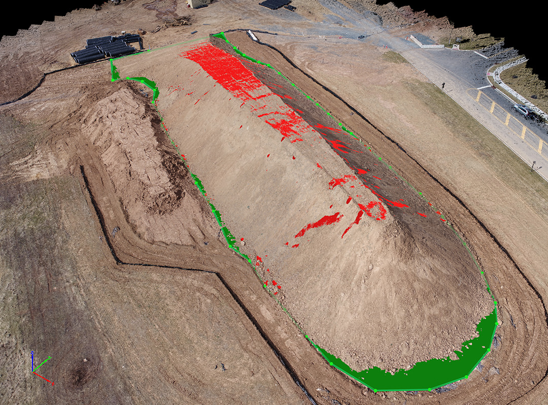
This drone surveying course is about the creation of maps, 3D models, and other geographical data via drone. It is most commonly done by taking many images at different locations and then using software to merge them all together, creating a geometrically accurate map or model. In practice, this is accomplished using software that automates both flight and image capture.


Four Core Modules

- Module 1: Introduction to Surveying
- Module 2: Basics and Terminology
- Module 3: Capture and Processing Methods
- Module 4: Surveying Jobs
At the end there is a 30 question quiz to test your understanding of the material.
Why ABJ Drone Academy?
We provide relevant and innovative drone education based on global in-field and experienced pilots who have provided services in a multitude of industries and categories from general photography to full scale energy infrastructure inspections. Our programs are less theory and more factual, exactly what you and your organization needs to bring the up-most value, while saving time and avoiding huge potential problems.